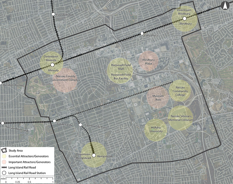
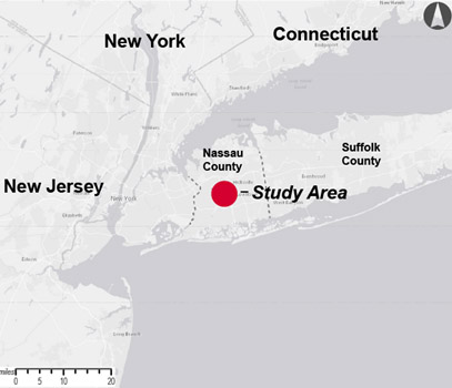
Study overviewThe purpose of the Nassau Hub Transit Initiative Alternatives Analysis (AA) Update is to identify a premium bus rapid transit (BRT) service to address congestion and create enhanced connectivity between major destinations in the Nassau Hub area and the Long Island Rail Road (LIRR). The Project’s study area, which includes the Nassau Veterans Memorial Coliseum site, is home to multiple commercial, downtown, and institutional activity centers that will benefit from expanded transit access. New transit-oriented and commercial development, expansion of LIRR train service along the Main Line such as the Third Track Project, and a shift in attitude towards public transportation, have all provided an opportunity to expand and refine the findings from the 2014 Nassau Hub Alternatives Analysis (2014 AA). Study Area The Nassau Hub Transit Initiative Study Area (“Study Area”) occupies approximately 10.3 square-miles in the heart of Nassau County and is bounded by Jackson Avenue, Mineola and Harvard Avenue, Westbury to the north, Eisenhower Park to the east, NYS Route 102 (Front Street), Hempstead to the south, and Cathedral Avenue – Rockaway Avenue, Garden City to the west. The focus of this study is to identify a connection to the Long Island Rail Road Main Line via the Initial Operating Segment (IOS) identified in the 2014 AA, and other essential and important destinations such as the Village of Westbury, the Village of Mineola, Hofstra University, Nassau Community College, Museum Row, the Nassau Veterans Memorial Coliseum, Mitchel Field, the Nassau County Government Complex, and Roosevelt Field Mall. Nassau Hub Transit Initiative Study Area 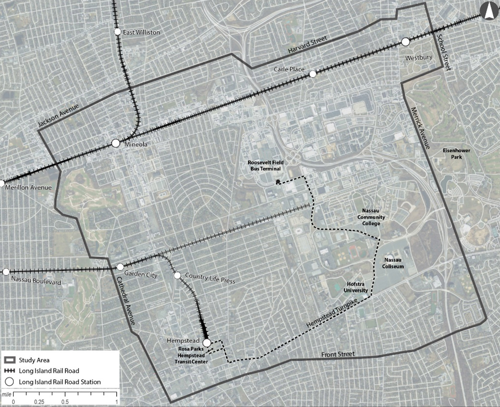
Nassau Hub Transit Initiative Essential and Important Attractors |
|
 |
||||||||
|
|
|
|
|
|
|
|
||